Accesso
Utenti preferiti
Sondaggio
Homepage
>
Stati Uniti d'America
>
Kansas
>
Johnson County
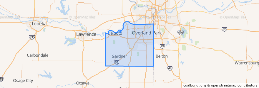
Johnson County
Visualizza nella mappa interattiva
Percorsi di trasporto pubblico
Route 510: Eastbound
Route 510: Westbound
Posti
De Soto
(2)
Lenexa
(2)
Overland Park
(2)
Olathe
(1)
Edgerton
(0)
Fairway
(0)
Gardner
(0)
Lake Quivira
(0)
Leawood
(0)
Merriam
(0)
Mission
(0)
Mission Hills
(0)
Prairie Village
(0)
Roeland Park
(0)
Shawnee
(0)
Westwood
(0)
Punti di interesse
Nan Jing Restaurant
Westwood
Harps Express
Mission
Leawood
Spring Hill
Brookwood Elementary School
Scooters Coffee Shop
Olathe
Subway
Roeland Park
$5 Car Wash
Overland Park
Talk of the Town
Lake Quivira
Tequila Harry's
Sawasdee Thai Cuisine
Minit Mart #603
Ricco's Italian Bistro
Twisted
Pizza Hut
Barley's Brewhaus
Edgerton
Mission Woods
Subway
Gert's Grille
The Wooden Spoon
Johnson County
Merriam
The Rub Bar-B-Que & Catering