Oturum aç
Yıldız kullanıcılar
Anket
anasayfa
>
Amerika Birleşik Devletleri
>
Kansas
>
Johnson County
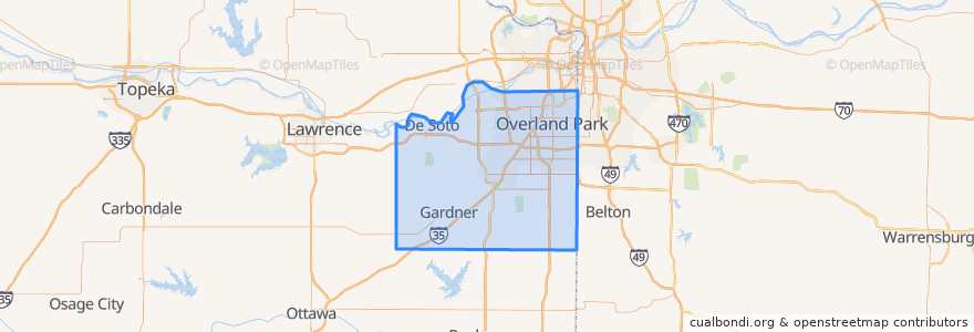
Johnson County
Etkileşimli haritada görüntüle
Toplu taşıma yolları
Route 510: Eastbound
Route 510: Westbound
Yerler
De Soto
(2)
Lenexa
(2)
Overland Park
(2)
Olathe
(1)
Edgerton
(0)
Fairway
(0)
Gardner
(0)
Lake Quivira
(0)
Leawood
(0)
Merriam
(0)
Mission
(0)
Mission Hills
(0)
Prairie Village
(0)
Roeland Park
(0)
Shawnee
(0)
Westwood
(0)
İlgi noktaları
Brookwood Elementary School
Prairie Village
Fairway
Talk of the Town
The Wooden Spoon
Subway
Old Shawnee Pizza
Edgerton
Olathe
Scooters Coffee Shop
Sarpino's
Domino's Pizza
Subway
Sawasdee Thai Cuisine
Burger King
Pizza Hut
Wendy's
Twisted
Greek Cuisine
Mission Hills
De Soto
Merriam
Harps Express
Shawnee
Minit Mart #603
LaMar's Donuts
Subway
The Rub Bar-B-Que & Catering
Mission
Overland Park