تسجيل الدخول
مستخدمي ستار
تصويت
الصفحة الرئيسية
>
الولايات المتّحدة الأمريكيّة
>
كانساس
>
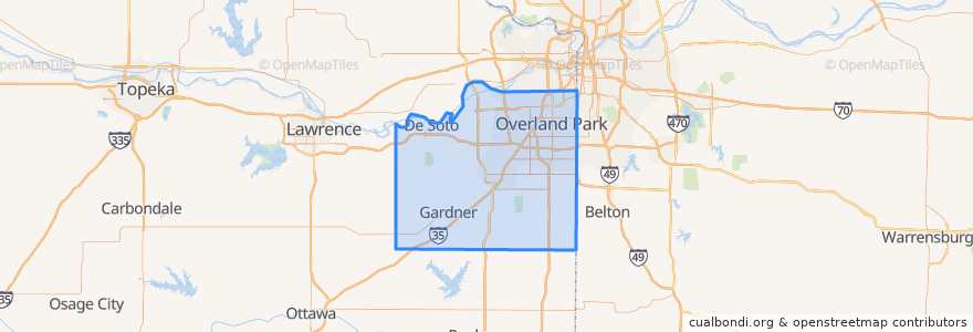
Johnson County
Johnson County
انظر في الخريطة التفاعلية
طرق النقل العام
Route 510: Eastbound
Route 510: Westbound
أماكن
De Soto
(2)
Lenexa
(2)
Overland Park
(2)
Olathe
(1)
Edgerton
(0)
Fairway
(0)
Gardner
(0)
Lake Quivira
(0)
Leawood
(0)
Merriam
(0)
Mission
(0)
Mission Hills
(0)
Prairie Village
(0)
Roeland Park
(0)
Shawnee
(0)
Westwood
(0)
مجالات الاهتمام
Prairie Village
Olathe
De Soto
Mission
Scooters Coffee Shop
College Boulevard Animal Hospital
Spring Hill
Western Union
Greek Cuisine
Tequila Harry's
Shawnee
Wendy's
Domino's Pizza
Lake Quivira
Talk of the Town
Subway
Burger King
Fairway
Phillips 66
Minit Mart #603
Roeland Park
Brookwood Elementary School
Subway
Overland Park
Pizza Hut
Billington Library (LIB)
Old Shawnee Pizza
Westwood
Westwood Hills
Barley's Brewhaus