Conecte-se
Usuários estrela
Pesquisa
Início
>
Estados Unidos da América
>
Kansas
>
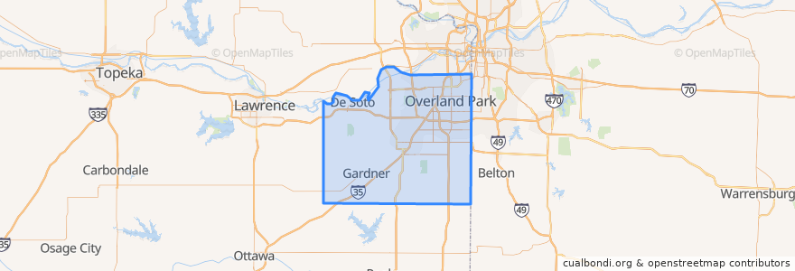
Johnson County
Johnson County
Veja no mapa interativo
Rotas de transporte público
Route 510: Eastbound
Route 510: Westbound
Lugares
De Soto
(2)
Lenexa
(2)
Overland Park
(2)
Olathe
(1)
Edgerton
(0)
Fairway
(0)
Gardner
(0)
Lake Quivira
(0)
Leawood
(0)
Merriam
(0)
Mission
(0)
Mission Hills
(0)
Prairie Village
(0)
Roeland Park
(0)
Shawnee
(0)
Westwood
(0)
Pontos de interesse
Westwood Hills
Tequila Harry's
Prairie Village
Wendy's
Phillips 66
Lenexa
Fairway
Burger King
Johnson County
Minit Mart #603
The Wooden Spoon
Harps Express
Sarpino's
Ricco's Italian Bistro
Sawasdee Thai Cuisine
Brookwood Elementary School
Greek Cuisine
Westwood
Mission
College Boulevard Animal Hospital
Bee Cee's Authentic BBQ
Overland Park
Old Shawnee Pizza
Subway
$5 Car Wash
Subway
De Soto
Leawood
Kansas District of the Wesleyan Church
Domino's Pizza