Log masuk
Pengguna bintang
Undian
Laman utama
>
Amerika Syarikat
>
Kansas
>
Johnson County
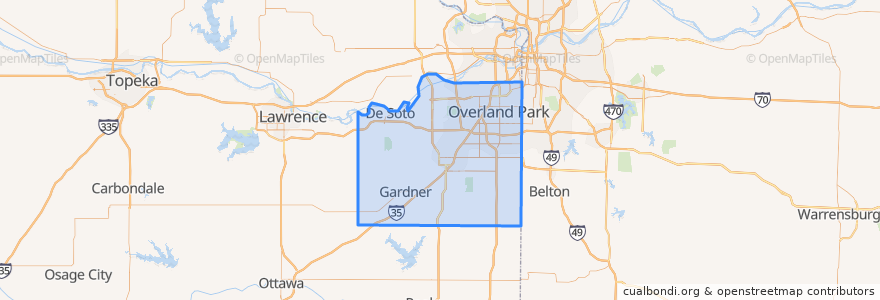
Johnson County
Lihat di peta interaktif
Laluan pengangkutan awam
Route 510: Eastbound
Route 510: Westbound
Tempat
De Soto
(2)
Lenexa
(2)
Overland Park
(2)
Olathe
(1)
Edgerton
(0)
Fairway
(0)
Gardner
(0)
Lake Quivira
(0)
Leawood
(0)
Merriam
(0)
Mission
(0)
Mission Hills
(0)
Prairie Village
(0)
Roeland Park
(0)
Shawnee
(0)
Westwood
(0)
Tempat menarik
Johnson County
Wendy's
Subway
Subway
Mission Hills
Talk of the Town
Twisted
Tequila Harry's
Edgerton
Bee Cee's Authentic BBQ
The Rub Bar-B-Que & Catering
$5 Car Wash
Gert's Grille
Mission Woods
Westwood
Pizza Hut
College Boulevard Animal Hospital
Prairie Village
Roeland Park
Sawasdee Thai Cuisine
Billington Library (LIB)
Westwood Hills
LaMar's Donuts
Domino's Pizza
Minit Mart #603
Nan Jing Restaurant
Olathe
Barley's Brewhaus
Old Shawnee Pizza
Subway