Login
Star users
Poll
Home
>
United States
>
California
>
Ventura County
Ventura County
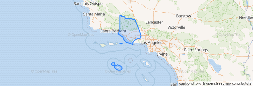
See in interactive map
Routes of public transport
Fillmore & Western
Metrolink Ventura County Line: Los Angeles <=> East Ventura
Places
Camarillo
(1)
Fillmore
(1)
Moorpark
(1)
Oxnard
(1)
Santa Paula
(1)
Simi Valley
(1)
Ventura
(1)
Casa Conejo
(0)
Fillmore
(0)
Ojai
(0)
San Buenaventura (Ventura)
(0)
San Buenaventura (Ventura)
(0)
Thousand Oaks
(0)
Thousand Oaks
(0)
Ventura
(0)
Stops
Santa Paula
Simi Valley
Fillmore
East Ventura
Oxnard
Moorpark
Camarillo
Piru
Points of interest
New Apostolic Church
Somis Post Office
Oxnard Full Gospel Church
Thai Noodles
San Buenaventura (Ventura)
Glory House
San Buenaventura (Ventura)
Santa Paula Presbyterian Church
Ojai
Hai Sushi
Moorpark Civic Center
Saint Mary Magdalen Roman Catholic Church
Camarillo
First Church of Christ Scientist
East Ventura Foursquare Church
Taco Bell
VC/CHP Police Services Center
El Pollo Loco
First Christian Church
Ozeki Noodle
Moorpark City Hall
Santa Paula Post Office
Congregation B'nai Emet
Union Bank
Moorpark Human Services Center
Dave Janssen's School of Music
Waba Grill
Pick Up Stix
Jersey Mike's Subs
Religious Science Church of Simi Valley