Login
Star users
Poll
Home
>
United States
>
California
>
Ventura County
Ventura County
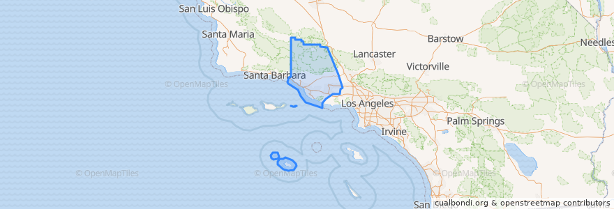
See in interactive map
Routes of public transport
Fillmore & Western
Metrolink Ventura County Line: Los Angeles <=> East Ventura
Places
Camarillo
(1)
Fillmore
(1)
Moorpark
(1)
Oxnard
(1)
Santa Paula
(1)
Simi Valley
(1)
Ventura
(1)
Casa Conejo
(0)
Fillmore
(0)
Ojai
(0)
San Buenaventura (Ventura)
(0)
San Buenaventura (Ventura)
(0)
Thousand Oaks
(0)
Thousand Oaks
(0)
Ventura
(0)
Stops
Piru
Simi Valley
Camarillo
Santa Paula
East Ventura
Moorpark
Fillmore
Oxnard
Points of interest
Saint Mary Magdalen School
Waba Grill
Bank of America
High Street Arts Center
First Southern Baptist Church
Berylwood Elementary School
The Donut Cafe
Chevron
Walnut Canyon Memorial Auditorium
All Saints Episcopal Church
Ventura County Health Care.Agency
Christian Praise Assembly Church
Ventura
Santa Paula Presbyterian Church
New Progressive Missionary Church
Circle K
Mountain View Family Medical Clinic
Oxnard City Hall
Moorpark Human Services Center
La Salsa
Iglesia del Dios Vivo
Fillmore
Panda Express
Thai Noodles
Religious Science Church of Simi Valley
Simi Elementary School
Taqueria Jalisco
New Life Center
Oxnard Full Gospel Church
Church of the Nazarene