로그인
스타 사용자
투표
홈페이지
>
미국
>
캘리포니아주
>
Ventura County
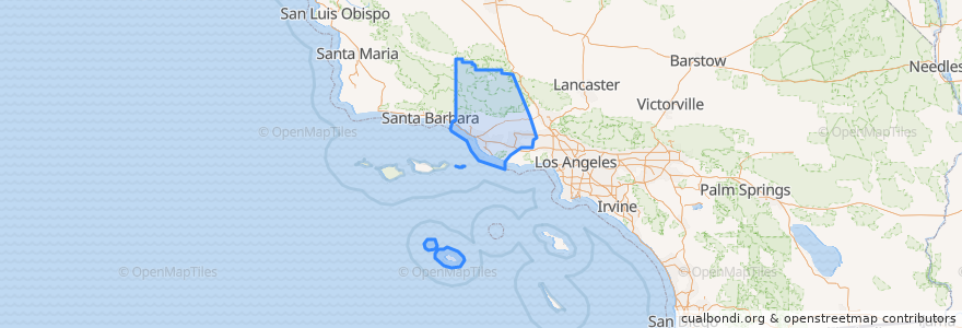
Ventura County
대화식지도에서보기
대중 교통 경로
Fillmore & Western
Metrolink Ventura County Line: Los Angeles <=> East Ventura
장소
Camarillo
(1)
Fillmore
(1)
Moorpark
(1)
Oxnard
(1)
Santa Paula
(1)
Simi Valley
(1)
Ventura
(1)
Casa Conejo
(0)
Fillmore
(0)
Ojai
(0)
San Buenaventura (Ventura)
(0)
San Buenaventura (Ventura)
(0)
Thousand Oaks
(0)
Thousand Oaks
(0)
Ventura
(0)
버스 정류장
East Ventura
Santa Paula
Moorpark
Fillmore
Piru
Oxnard
Simi Valley
Camarillo
가볼만한 곳
Blanchard Community Library
USA Gasoline
Church of the Nazarene
Asamblea Apostolica
Religious Science Church of Christ
Fillmore Middle School
Oxnard
Berylwood Elementary School
First United Methodist Church
Santa Paula FD Station 81
First Church of Christ
Starbucks
Saint Mary Magdalen Roman Catholic Church
San Buenaventura (Ventura)
Foursquare Church
Fillmore City Hall
Camarillo
San Nicolas Island
Thousand Oaks
Jersey Mike's Subs
First Church of Christ Scientist
Thai Noodles
East Ventura Foursquare Church
Oxnard Full Gospel Church
First Baptist Church
Circle K
Rite Aid
Moorpark Civic Center
Pick Up Stix
Bank of America