登录
明星用户
轮询
家
>
美利坚合众国/美利堅合眾國
>
加利福尼亚州/加利福尼亞州
>
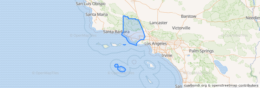
Ventura County
Ventura County
在互动地图中查看
公共交通路线
Fillmore & Western
Metrolink Ventura County Line: Los Angeles <=> East Ventura
地方
Camarillo
(1)
Fillmore
(1)
Moorpark
(1)
Oxnard
(1)
Santa Paula
(1)
Simi Valley
(1)
Ventura
(1)
Casa Conejo
(0)
Fillmore
(0)
Ojai
(0)
San Buenaventura (Ventura)
(0)
San Buenaventura (Ventura)
(0)
Thousand Oaks
(0)
Thousand Oaks
(0)
Ventura
(0)
停止
Santa Paula
Oxnard
East Ventura
Fillmore
Moorpark
Piru
Simi Valley
Camarillo
兴趣点
Valero
Glory House
Ozeki Noodle
McKevett Elementary School
Wilson School
Thai Noodles
Emmanuel Missionary Baptist Church
First Southern Baptist Church
Panda Wok
Bethel Baptist Church
Taco Bell
Waters of Begg Rock
Ventura
Valley Community Foursquare Church
Subway
New Life Center
Tacos Mi Pueblo
Walnut Canyon Memorial Auditorium
First United Methodist Church
First Christian Church
Foursquare Church
Casa Conejo
Piru Post Office
WIC Behavioral Health
Fire Station Number 1
Green Acres Farm Market
Moorpark Human Services Center
Waba Grill
Congregation B'nai Emet
El Pollo Loco