وارد شدن
کاربران ستاره
نظرسنجی
شروع
>
ایالات متحده آمریکا
>
کالیفرنیا
>
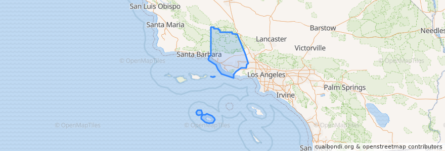
Ventura County
Ventura County
در نقشه تعاملی مشاهده کنید
مسیرهای حمل و نقل عمومی
Fillmore & Western
Metrolink Ventura County Line: Los Angeles <=> East Ventura
اماکن
Camarillo
(1)
Fillmore
(1)
Moorpark
(1)
Oxnard
(1)
Santa Paula
(1)
Simi Valley
(1)
Ventura
(1)
Casa Conejo
(0)
Fillmore
(0)
Ojai
(0)
San Buenaventura (Ventura)
(0)
San Buenaventura (Ventura)
(0)
Thousand Oaks
(0)
Thousand Oaks
(0)
Ventura
(0)
ایستگاه
East Ventura
Moorpark
Simi Valley
Oxnard
Camarillo
Fillmore
Santa Paula
Piru
نقاط مورد علاقه
Hai Sushi
San Buenaventura (Ventura)
Faith Miracle Revival Center
Saint Mary Magdalen Roman Catholic Church
Oxnard Public Library
Portal School
New Progressive Missionary Church
Congregation B'nai Emet
Somis Library
Jamba Juice
Fire Department
Bank of America
Thousand Oaks
Fillmore City Hall
John Jenkins Christian Academy
Simi Elementary School
Valero
Chevron
Pleasant Valley School District Office
Rite Aid
Religious Science Church of Simi Valley
Moorpark Post Office
New Apostolic Church
The Church of Jesus Christ of Latter-day Saints
Thousand Oaks
Camarillo Branch Ventura County Library
Fillmore Post Office
Indian Haweli
Saint Mary Magdalen School
First Baptist Church