Accesso
Utenti preferiti
Sondaggio
Homepage
>
Stati Uniti d'America
>
California
>
Ventura County
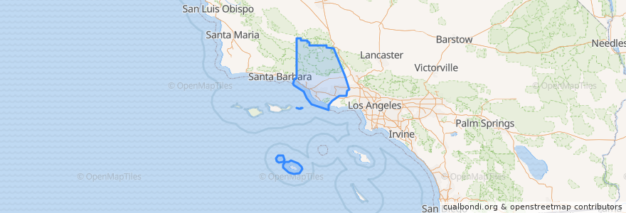
Ventura County
Visualizza nella mappa interattiva
Percorsi di trasporto pubblico
Fillmore & Western
Metrolink Ventura County Line: Los Angeles <=> East Ventura
Posti
Camarillo
(1)
Fillmore
(1)
Moorpark
(1)
Oxnard
(1)
Santa Paula
(1)
Simi Valley
(1)
Ventura
(1)
Casa Conejo
(0)
Fillmore
(0)
Ojai
(0)
San Buenaventura (Ventura)
(0)
San Buenaventura (Ventura)
(0)
Thousand Oaks
(0)
Thousand Oaks
(0)
Ventura
(0)
Fermate
Moorpark
Oxnard
Fillmore
Camarillo
Simi Valley
East Ventura
Piru
Santa Paula
Punti di interesse
Asamblea Apostolica
First Church of Christ
John Jenkins Christian Academy
First Baptist Church
Panda Wok
Glory House
Camarillo
Chevron
San Buenaventura (Ventura)
Santa Paula Post Office
Valley Community Foursquare Church
VC/CHP Police Services Center
Thousand Oaks
Ventura County FD Station 27
San Salvador Catholic Church
Knolls School
San Buenaventura (Ventura)
Waba Grill
Sespe Elementary School
Moorpark City Hall
VCFD Station 42
Oxnard Public Library
San Nicolas Island
First Baptist Church
Saint Pauls Episcopal Church
Simi Elementary School
Mission of Angelica Elim
L&L Hawaiian Barbecue
Moorpark Branch Ventura County Library
Ventura