Ouverture de session
Utilisateurs étoile
Sondage
Accueil
>
États-Unis d'Amérique
>
Californie
>
Ventura County
Ventura County
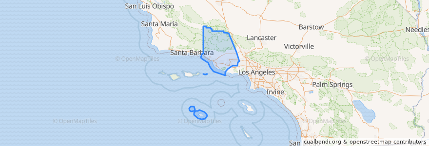
Voir sur la carte interactive
Itinéraires des transports publics
Fillmore & Western
Metrolink Ventura County Line: Los Angeles <=> East Ventura
Endroits
Camarillo
(1)
Fillmore
(1)
Moorpark
(1)
Oxnard
(1)
Santa Paula
(1)
Simi Valley
(1)
Ventura
(1)
Casa Conejo
(0)
Fillmore
(0)
Ojai
(0)
San Buenaventura (Ventura)
(0)
San Buenaventura (Ventura)
(0)
Thousand Oaks
(0)
Thousand Oaks
(0)
Ventura
(0)
Arrêts
Fillmore
Piru
Simi Valley
Oxnard
Santa Paula
Camarillo
Moorpark
East Ventura
Points d'interêts
Chevron
Congregation B'nai Emet
Ojai
Foursquare Church
McKevett Elementary School
Moorpark
Thousand Oaks
Berylwood Elementary School
Christian Praise Assembly Church
High Street Arts Center
Rite Aid
Fillmore Christian Academy
Ozeki Noodle
New Life Center
Ventura County Health Care.Agency
San Nicolas Island
Simi Valley Cultural Arts Center
First Church of Christ Scientist
Taco Bell
Sunrise Preschool
Fillmore Unified School District
East Ventura Foursquare Church
Pleasant Valley School District Office
Handicapped Childrens School
First Christian Church
Moorpark Post Office
Thai Noodles
Piru United Methodist Church
Moorpark Civic Center
The Church of Jesus Christ of Latter-day Saints