Conecte-se
Usuários estrela
Pesquisa
Início
>
Estados Unidos da América
>
Califórnia
>
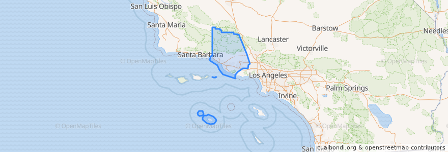
Ventura County
Ventura County
Veja no mapa interativo
Rotas de transporte público
Fillmore & Western
Metrolink Ventura County Line: Los Angeles <=> East Ventura
Lugares
Camarillo
(1)
Fillmore
(1)
Moorpark
(1)
Oxnard
(1)
Santa Paula
(1)
Simi Valley
(1)
Ventura
(1)
Casa Conejo
(0)
Fillmore
(0)
Ojai
(0)
San Buenaventura (Ventura)
(0)
San Buenaventura (Ventura)
(0)
Thousand Oaks
(0)
Thousand Oaks
(0)
Ventura
(0)
Paradas
Simi Valley
Oxnard
Santa Paula
Fillmore
Moorpark
East Ventura
Camarillo
Piru
Pontos de interesse
Oxnard Public Library
Panda Express
Chevron
Oxnard Fire Department Station 4
Chaparral Middle School
Pleasant Valley School District Office
Somis Library
Apolo High School
Camarillo Foursquare Church
Santa Paula FD Station 81
Thai Noodles
Church of the Nazarene
Fillmore Post Office
Mission of Angelica Elim
Green Acres Farm Market
San Salvador Catholic Church
Great Central Steak & Hoagie
Santa Paula United Methodist Church
Wells Fargo
Church of Christ
Santa Paula
Moorpark Civic Center
First Church of Christ
Tacos Mi Pueblo
Barbara Webster Elementary School
First Baptist Church
Congregation B'nai Emet
Casa Conejo
New Progressive Missionary Church
Asamblea Apostolica