تسجيل الدخول
مستخدمي ستار
تصويت
الصفحة الرئيسية
>
الولايات المتّحدة الأمريكيّة
>
كاليفورنيا
>
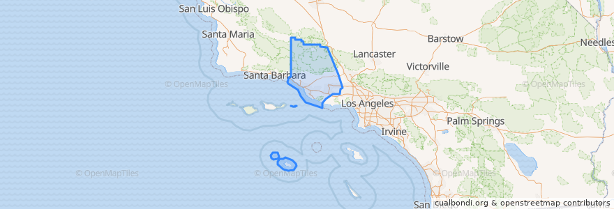
Ventura County
Ventura County
انظر في الخريطة التفاعلية
طرق النقل العام
Fillmore & Western
Metrolink Ventura County Line: Los Angeles <=> East Ventura
أماكن
Camarillo
(1)
Fillmore
(1)
مووربارك، فينتورا، كاليفورنيا
(1)
Oxnard
(1)
Santa Paula
(1)
Simi Valley
(1)
Ventura
(1)
Casa Conejo
(0)
فيلموري، فينتورا، كاليفورنيا
(0)
Ojai
(0)
San Buenaventura (Ventura)
(0)
San Buenaventura (Ventura)
(0)
Thousand Oaks
(0)
ثوسند أوكس، كاليفورنيا
(0)
Ventura
(0)
موقف
Simi Valley
Piru
Oxnard
Santa Paula
Moorpark
Camarillo
East Ventura
Fillmore
مجالات الاهتمام
Ojai
McDonald's
Somis Fire Station
Sunrise Preschool
WIC Behavioral Health
Santa Paula United Methodist Church
Oxnard City Hall
Citrus Valley Christian Center
Religious Science Church of Christ
Ozeki Noodle
Casa Conejo
Faith Miracle Revival Center
Unitarian Universalist Church
Blanchard Community Library
ثوسند أوكس، كاليفورنيا
Thousand Oaks
Fillmore Unified School District
Waba Grill
First Church of Christ
Somis Post Office
Moorpark Civic Center
Ventura County FD Station 27
Moorpark Branch Ventura County Library
Knolls School
First Southern Baptist Church
Taqueria Jalisco
Chevron
Ventura County
Glory House
Oxnard Full Gospel Church