Login
Star users
Poll
Home
>
Australia
>
Queensland
>
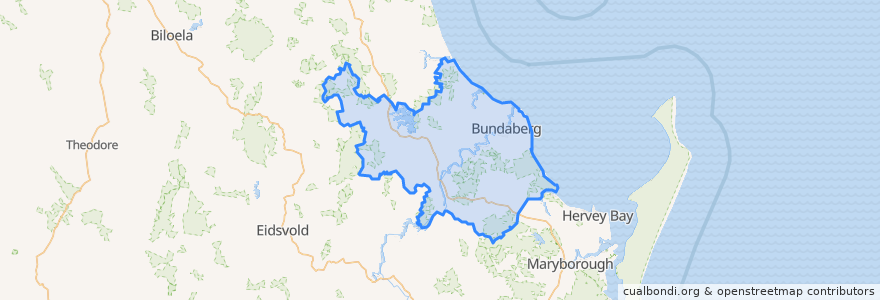
Bundaberg Region
Bundaberg Region
See in interactive map
Routes of public transport
607 Bundaberg City to North Bundaberg servicing Botanical Gardens, RSL Village, Golf Club
City to Kepnock serving Bundaberg South
City to Sugarland servicing Hospitals, Argyle Village
City to Sugarland servicing Svensson Heights
Spirit of Queensland: Brisbane → Cairns
Spirit of the Outback: Brisbane → Longreach
Sugarland to City servicing Argyle Village, Hospitals
Sugarland to City servicing Svensson Heights
Tilt Train: Brisbane → Rockhampton
Stops
W: Woongarra St. C
Johnston St / Heidke St
W: Woongarra St. F
W: Woongarra St. L
Bundaberg
Points of interest
Melting Moments
Queensland Respiratory Services
The Club
Australia Post
Pizza Capers
Yummy Star Noodles & Sushi
H2o
Medical Suites
Queenslander
Burnett Dental Centre
Wide Bay Neuroscience
Domino's
QML Pathology
Uncle Chan's
Busy Bee
BOQ
Under Cover Park
ANZ
Indulge
Under Cover Park
Alowishus
Cake Garden
Westpac
New Eastern Pearl
Sullivan Nicolaides Pathology
Alexandras
ANZ
Miss India
Suncorp
Bundaberg Region