تسجيل الدخول
مستخدمي ستار
تصويت
الصفحة الرئيسية
>
أستراليا
>
كوينزلاند
>
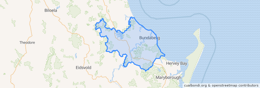
Bundaberg Region
Bundaberg Region
انظر في الخريطة التفاعلية
طرق النقل العام
607 Bundaberg City to North Bundaberg servicing Botanical Gardens, RSL Village, Golf Club
City to Kepnock serving Bundaberg South
City to Sugarland servicing Hospitals, Argyle Village
City to Sugarland servicing Svensson Heights
Spirit of Queensland: Brisbane → Cairns
Spirit of the Outback: Brisbane → Longreach
Sugarland to City servicing Argyle Village, Hospitals
Sugarland to City servicing Svensson Heights
Tilt Train: Brisbane → Rockhampton
موقف
Johnston St / Heidke St
Bundaberg
W: Woongarra St. C
W: Woongarra St. F
W: Woongarra St. L
مجالات الاهتمام
Commonwealth Bank
Reds
VanishInk
Medical Suites
Alowishus
Pizza Hut
Lern-Ezy Driving School
Suncorp
Rashays
BOQ
Friendly Society
Indulge
Big Mumma's Thai Cuisine
Church Of God
Old Bundy Tavern
Caltex
Puma
Sabrosa Steakhouse
Fish “N” Chips @ 251 Bourbong
Linden Medical Centre
Subway
Alexandras
Auswide
Cake Garden
Coles Express
Brothers Sports Club
Melbourne Hotel
Australia Post
Central Medical Bundaberg
C Bee's