로그인
스타 사용자
투표
홈페이지
>
오스트레일리아
>
Queensland
>
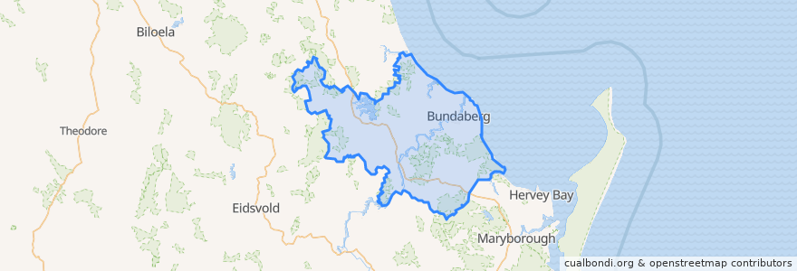
Bundaberg Region
Bundaberg Region
대화식지도에서보기
대중 교통 경로
607 Bundaberg City to North Bundaberg servicing Botanical Gardens, RSL Village, Golf Club
City to Kepnock serving Bundaberg South
City to Sugarland servicing Hospitals, Argyle Village
City to Sugarland servicing Svensson Heights
Spirit of Queensland: Brisbane → Cairns
Spirit of the Outback: Brisbane → Longreach
Sugarland to City servicing Argyle Village, Hospitals
Sugarland to City servicing Svensson Heights
Tilt Train: Brisbane → Rockhampton
버스 정류장
Bundaberg
W: Woongarra St. C
W: Woongarra St. F
Johnston St / Heidke St
W: Woongarra St. L
가볼만한 곳
Miss India
Bundaberg Coach Station
Big Mumma's Thai Cuisine
Commonwealth Bank
Puma
Coles Express
Under Cover Park
The Red Capsicum
Westpac
Centacare
Capers on Takalvan
New Eastern Pearl
Under Cover Park
H2o
Sunshine Kebab
The Metro Hotel
Burnett Dental Centre
China Dragon
ANZ
The Brewhouse
Royal Coffee House
WholeLife Pharmacy & Healthfoods
Bundaberg Aqua Scuba
Priceline Pharmacy
Video Ezy
Tattersalls Hotel
Sabrosa Steakhouse
Melbourne Hotel
Fish & Chips
Rashays