Login
Star users
Poll
Home
>
Australia
>
Queensland
>
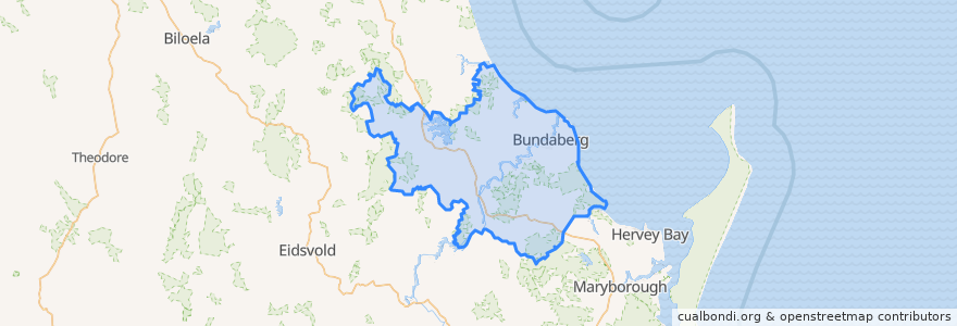
Bundaberg Region
Bundaberg Region
See in interactive map
Routes of public transport
607 Bundaberg City to North Bundaberg servicing Botanical Gardens, RSL Village, Golf Club
City to Kepnock serving Bundaberg South
City to Sugarland servicing Hospitals, Argyle Village
City to Sugarland servicing Svensson Heights
Spirit of Queensland: Brisbane → Cairns
Spirit of the Outback: Brisbane → Longreach
Sugarland to City servicing Argyle Village, Hospitals
Sugarland to City servicing Svensson Heights
Tilt Train: Brisbane → Rockhampton
Stops
Johnston St / Heidke St
Bundaberg
W: Woongarra St. L
W: Woongarra St. F
W: Woongarra St. C
Points of interest
Royal Coffee House
Hallmark Atm
Total Sleep Carr
Linden Medical Centre
Bella Bliss Studio
Domino's
Rashays
Walla Street Cafe
Video Ezy
Sunshine Kebab
River Cruz
Coral Coast Orthopaedics
Barolin Dental
Coral Coast
Sabrosa Steakhouse
Alowishus
Under Cover Park
Poppylicious
Nourish Cafe
Pappar'Delles
Suncorp
Westpac
Queenslander
Wide Bay Neuroscience
New Eastern Pearl
CJ massage
Westpac
QML Pathology
Fish & Chips
BOQ