Conecte-se
Usuários estrela
Pesquisa
Início
>
Austrália
>
Queensland
>
Bundaberg Region
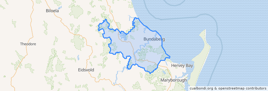
Bundaberg Region
Veja no mapa interativo
Rotas de transporte público
607 Bundaberg City to North Bundaberg servicing Botanical Gardens, RSL Village, Golf Club
City to Kepnock serving Bundaberg South
City to Sugarland servicing Hospitals, Argyle Village
City to Sugarland servicing Svensson Heights
Spirit of Queensland: Brisbane → Cairns
Spirit of the Outback: Brisbane → Longreach
Sugarland to City servicing Argyle Village, Hospitals
Sugarland to City servicing Svensson Heights
Tilt Train: Brisbane → Rockhampton
Paradas
Johnston St / Heidke St
W: Woongarra St. F
W: Woongarra St. L
W: Woongarra St. C
Bundaberg
Pontos de interesse
ANZ
McCafferty's
Subway
Kym
Bundy Sushi
Bundy Bar
Sabrosa Steakhouse
Under Cover Park
Malouf
Queenslander
Total Sleep Carr
Pacific Coffee Co
Spices Plus
Bella Bliss Studio
Grand Hotel
Miss India
Caltex Central Service Station
Tattersalls Hotel
Royal Coffee House
China Dragon
H2o
The Red Capsicum
Montezuma
Friendly Society
Suncorp Bank
Fish & Chips
Rechemy
White China
City Elements
Thai Rice