Accesso
Utenti preferiti
Sondaggio
Homepage
>
Australia
>
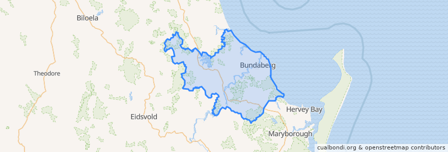
Queensland
>
Bundaberg Region
Bundaberg Region
Visualizza nella mappa interattiva
Percorsi di trasporto pubblico
607 Bundaberg City to North Bundaberg servicing Botanical Gardens, RSL Village, Golf Club
City to Kepnock serving Bundaberg South
City to Sugarland servicing Hospitals, Argyle Village
City to Sugarland servicing Svensson Heights
Spirit of Queensland: Brisbane → Cairns
Spirit of the Outback: Brisbane → Longreach
Sugarland to City servicing Argyle Village, Hospitals
Sugarland to City servicing Svensson Heights
Tilt Train: Brisbane → Rockhampton
Fermate
W: Woongarra St. F
W: Woongarra St. C
Johnston St / Heidke St
Bundaberg
W: Woongarra St. L
Punti di interesse
Brothers Sports Club
Wide Bay Neuroscience
Sunshine Kebab
Central Hotel
McCafferty's
Medical Suites
Caltex
Suncorp Bank
Barolin Dental
Cake Garden
China Dragon
Poppylicious
Zoo
BOQ
Australia Post
Reds
Total Sleep Carr
Essential Roots Poke Bowl Style
Malouf
Kym
Alexandras
Woolworths Petrol
United
Riot Cafe
Big Rooster
Suncorp
VanishInk
Ear, Nose & Throat Surgery - Dr John Elphinstone
Family Chiropatic
H2o