Anmelden
Star-Benutzer
Umfrage
Startseite
>
Australien
>
Queensland
>
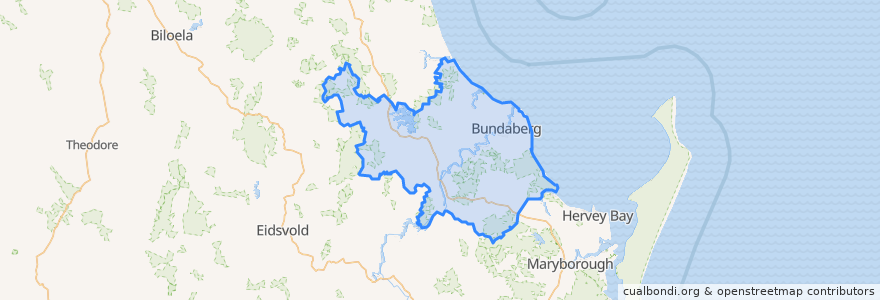
Bundaberg Region
Bundaberg Region
Siehe in der interaktiven Karte
Routen des öffentlichen Verkehrs
607 Bundaberg City to North Bundaberg servicing Botanical Gardens, RSL Village, Golf Club
City to Kepnock serving Bundaberg South
City to Sugarland servicing Hospitals, Argyle Village
City to Sugarland servicing Svensson Heights
Spirit of Queensland: Brisbane → Cairns
Spirit of the Outback: Brisbane → Longreach
Sugarland to City servicing Argyle Village, Hospitals
Sugarland to City servicing Svensson Heights
Tilt Train: Brisbane → Rockhampton
Haltestellen
W: Woongarra St. L
Bundaberg
W: Woongarra St. C
Johnston St / Heidke St
W: Woongarra St. F
Sehenswürdigkeiten
Coral Coast
Bendigo Bank
Central Medical Bundaberg
Nicolaides Pathology
Pizza Hut
Yummy Star Noodles & Sushi
Nourish Cafe
Barolin Dental
ANZ
White China
Coral Coast Orthopaedics
Queensland Sun
Big Mumma's Thai Cuisine
Commonwealth Bank
Rivaaz Curry
Rashays
Woolworths Petrol
River Cruz
Montezuma
Bundy Sushi
Domino's
Bella Bliss Studio
Nodaji Sushi
Suncorp
Sullivan Nicolaides Pathology
Alexandras
Fish & Chips
Alowishus
Priceline Pharmacy
Melbourne Hotel