Ouverture de session
Utilisateurs étoile
Sondage
Accueil
>
Australie
>
Queensland
>
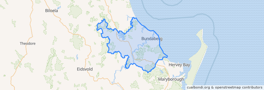
Bundaberg Region
Bundaberg Region
Voir sur la carte interactive
Itinéraires des transports publics
607 Bundaberg City to North Bundaberg servicing Botanical Gardens, RSL Village, Golf Club
City to Kepnock serving Bundaberg South
City to Sugarland servicing Hospitals, Argyle Village
City to Sugarland servicing Svensson Heights
Spirit of Queensland: Brisbane → Cairns
Spirit of the Outback: Brisbane → Longreach
Sugarland to City servicing Argyle Village, Hospitals
Sugarland to City servicing Svensson Heights
Tilt Train: Brisbane → Rockhampton
Arrêts
Bundaberg
W: Woongarra St. L
W: Woongarra St. C
Johnston St / Heidke St
W: Woongarra St. F
Points d'interêts
Caltex
BOQ
Commonwealth Bank
Westpac
The Club
Under Cover Park
Under Cover Park
McCafferty's
Video Ezy
Melting Moments
Rashays
Hallmark Atm
Burnett Dental Centre
Teaspoon
Alowishus
Pizza Hut
Medical Suites
Nicolaides Pathology
Australia Post
Sullivan Nicolaides Pathology
Pappar'Delles
City Elements
Bundaberg Coach Station
Yummy Star Noodles & Sushi
Queensland Sun
ANZ
Barolin Dental
Big Rooster
Old Bundy Tavern
Guzman y Gomez