Log masuk
Pengguna bintang
Undian
Laman utama
>
Australia
>
Queensland
>
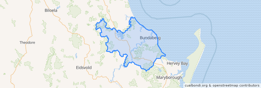
Bundaberg Region
Bundaberg Region
Lihat di peta interaktif
Laluan pengangkutan awam
607 Bundaberg City to North Bundaberg servicing Botanical Gardens, RSL Village, Golf Club
City to Kepnock serving Bundaberg South
City to Sugarland servicing Hospitals, Argyle Village
City to Sugarland servicing Svensson Heights
Spirit of Queensland: Brisbane → Cairns
Spirit of the Outback: Brisbane → Longreach
Sugarland to City servicing Argyle Village, Hospitals
Sugarland to City servicing Svensson Heights
Tilt Train: Brisbane → Rockhampton
Perhentian
W: Woongarra St. F
Bundaberg
W: Woongarra St. C
W: Woongarra St. L
Johnston St / Heidke St
Tempat menarik
Big Mumma's Thai Cuisine
Alowishus
Oasis on Bourbong
Melting Moments
Puma
QML Pathology
Queenslander
Under Cover Park
Ear, Nose & Throat Surgery - Dr John Elphinstone
Pharmacist Advice
Rivaaz Curry
Priceline Pharmacy
Subway
Guzman y Gomez
Essential Roots Poke Bowl Style
Riot Cafe
Queensland Respiratory Services
Coral Coast
Burnett Dental Centre
The Brewhouse
Suncorp
City Elements
Old Bundy Tavern
The Red Capsicum
Oncology
Friendly Society
Australia Post
Family Chiropatic
Nourish Cafe
Woolworths Petrol