Login
Star users
Poll
Home
>
Australia
>
Queensland
>
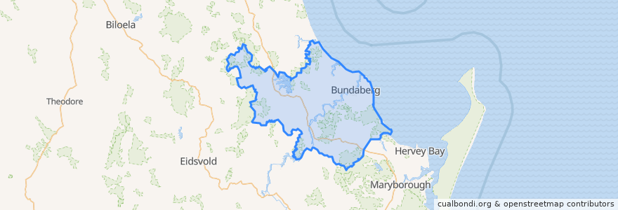
Bundaberg Region
Bundaberg Region
See in interactive map
Routes of public transport
607 Bundaberg City to North Bundaberg servicing Botanical Gardens, RSL Village, Golf Club
City to Kepnock serving Bundaberg South
City to Sugarland servicing Hospitals, Argyle Village
City to Sugarland servicing Svensson Heights
Spirit of Queensland: Brisbane → Cairns
Spirit of the Outback: Brisbane → Longreach
Sugarland to City servicing Argyle Village, Hospitals
Sugarland to City servicing Svensson Heights
Tilt Train: Brisbane → Rockhampton
Stops
Johnston St / Heidke St
Bundaberg
W: Woongarra St. F
W: Woongarra St. C
W: Woongarra St. L
Points of interest
The Brewhouse
Video Ezy
Auswide
Priceline Pharmacy
Tattersalls Hotel
The Brewhouse Pizza Parlour
McCafferty's
Hallmark Atm
Rechemy
Big Rooster
WholeLife Pharmacy & Healthfoods
Bundaberg Coach Station
Reds
Alowishus
Commonwealth Bank
Coral Coast
Bundaberg Region
White China
Sunshine Kebab
QML Pathology
Grand Hotel
Riot Cafe
Sugarland Vet Clinic
Miss India
The Club
The Metro Hotel
ANZ
ANZ
Nourish Cafe
Bundaberg Aqua Scuba