Login
Usuarios estrella
Encuesta
Inicio
>
Estados Unidos de América
>
Kansas
>
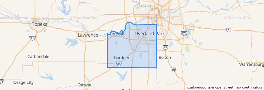
Johnson County
Johnson County
Ver en mapa interactivo
Recorridos de transporte público
Route 510: Eastbound
Route 510: Westbound
Lugares
De Soto
(2)
Lenexa
(2)
Overland Park
(2)
Olathe
(1)
Edgerton
(0)
Fairway
(0)
Gardner
(0)
Lake Quivira
(0)
Leawood
(0)
Merriam
(0)
Mission
(0)
Mission Hills
(0)
Prairie Village
(0)
Roeland Park
(0)
Shawnee
(0)
Westwood
(0)
Puntos de interés
Nan Jing Restaurant
$5 Car Wash
Merriam
Subway
Wendy's
Old Shawnee Pizza
Mission Hills
De Soto
Westwood
Twisted
Subway
Subway
Johnson County
Bee Cee's Authentic BBQ
Mission
Fairway
Prairie Village
Kansas District of the Wesleyan Church
LaMar's Donuts
Leawood
Harps Express
Domino's Pizza
Billington Library (LIB)
Burger King
Greek Cuisine
Lake Quivira
Salty Iguana
Spring Hill
Shawnee
Edgerton