Login
Star users
Poll
Home
>
United States
>
Utah
>
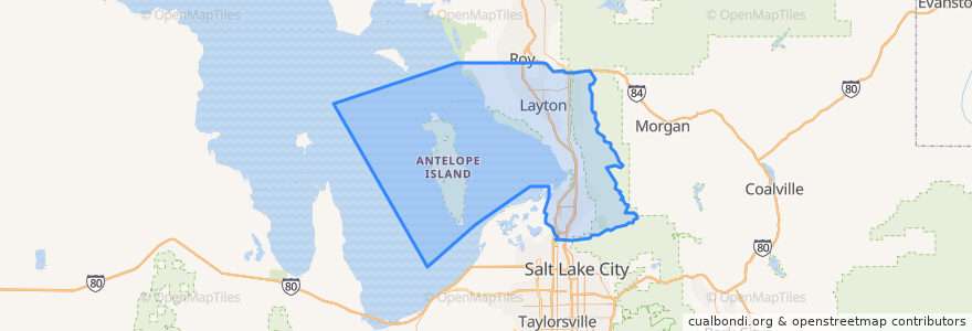
Davis County
Davis County
See in interactive map
Routes of public transport
UTA Route 460 Woods Cross (to Salt Lake)
UTA Route 460 Woods Cross (to Woods Cross)
UTA Route 462 North Salt Lake (to North Salt Lake)
UTA Route 471 Centerville (to Centerville)
UTA Route 471 Centerville (to Downtown SLC)
UTA Route 472 Riverdale to Salt Lake Express (to Riverdale Park and Ride)
UTA Route 472 Riverdale to Salt Lake Express (to Salt Lake)
UTA Route 626 West Roy/Clearfield Station (to West Roy)
UTA Route 627 Clearfield Station/Kaysville/DTC (to Clearfield Station)
Places
North Salt Lake
(7)
Woods Cross
(6)
Bountiful
(5)
Centerville
(4)
Clearfield
(4)
Layton
(4)
Kaysville
(3)
Farmington
(2)
Sunset
(2)
West Bountiful
(2)
Clinton
(1)
Syracuse
(1)
West Point
(1)
Fruit Heights
(0)
South Weber
(0)
Uintah
(0)
Points of interest
The Church of Jesus Christ of Latter-day Saints
North Salt Lake
Culver's
The Church of Jesus Christ of Latter-day Saints
Mikado
Tanner Clinic
ProShine Auto Wash
Kaysville theatre
Baskin-Robbins
Royal India
Redbox
TCBY
Worlds End Coffee House
Check Smart
New Hope Fellowship
Starbucks
Mo Bettah's Steaks
Westminster Presbyterian Church
Maverik
Mountain America Credit Union
Little Caesars
The Habit Burger Grill
Redbox
Clinton
White Space Studios
Roxberry
The Church of Jesus Christ of Latter-day Saints
School of Saint Peter
Panda Express
Antelope Elementary School