Anmelden
Star-Benutzer
Umfrage
Startseite
>
Vereinigte Staaten von Amerika
>
Utah
>
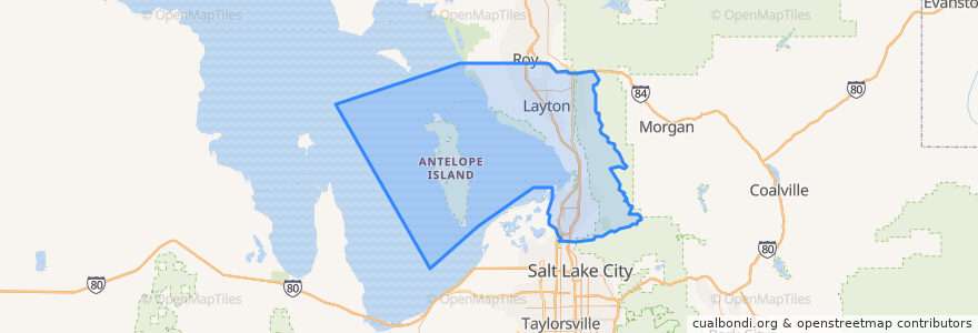
Davis County
Davis County
Siehe in der interaktiven Karte
Routen des öffentlichen Verkehrs
UTA Route 460 Woods Cross (to Salt Lake)
UTA Route 460 Woods Cross (to Woods Cross)
UTA Route 462 North Salt Lake (to North Salt Lake)
UTA Route 471 Centerville (to Centerville)
UTA Route 471 Centerville (to Downtown SLC)
UTA Route 472 Riverdale to Salt Lake Express (to Riverdale Park and Ride)
UTA Route 472 Riverdale to Salt Lake Express (to Salt Lake)
UTA Route 626 West Roy/Clearfield Station (to West Roy)
UTA Route 627 Clearfield Station/Kaysville/DTC (to Clearfield Station)
Orte
North Salt Lake
(7)
Woods Cross
(6)
Bountiful
(5)
Centerville
(4)
Clearfield
(4)
Layton
(4)
Kaysville
(3)
Farmington
(2)
Sunset
(2)
West Bountiful
(2)
Clinton
(1)
Syracuse
(1)
West Point
(1)
Fruit Heights
(0)
South Weber
(0)
Uintah
(0)
Sehenswürdigkeiten
The Church of Jesus Christ of Latter-day Saints - Seminary
Coombs Orthodontics
Dairy Queen
Hillfield Catholic Chapel
Wasatch Peak Family Practice & Oceans Contours
Davis County
Coast "2" Coast Seafood
Cutler's Cookies and Sandwiches
Change Machine
The Church of Jesus Christ of Latter-day Saints
Louie's Pizzeria
R F. Derbidge, RPh
Sunset
Wok Lin
North View Pharmacy
The Church of Jesus Christ of Latter-day Saints
Jersey Mike's Subs
Panda Express
Dream It Dental
Zeppe's
Taco Time
Pizza Hut
Doxey Elementary School
Clinton
The Church of Jesus Christ of Latter-day Saints
Wendy's
China Hill
McDonald's
Lagos
University Credit Union