وارد شدن
کاربران ستاره
نظرسنجی
شروع
>
ایالات متحده آمریکا
>
یوتا
>
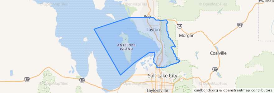
Davis County
Davis County
در نقشه تعاملی مشاهده کنید
مسیرهای حمل و نقل عمومی
UTA Route 460 Woods Cross (to Salt Lake)
UTA Route 460 Woods Cross (to Woods Cross)
UTA Route 462 North Salt Lake (to North Salt Lake)
UTA Route 471 Centerville (to Centerville)
UTA Route 471 Centerville (to Downtown SLC)
UTA Route 472 Riverdale to Salt Lake Express (to Riverdale Park and Ride)
UTA Route 472 Riverdale to Salt Lake Express (to Salt Lake)
UTA Route 626 West Roy/Clearfield Station (to West Roy)
UTA Route 627 Clearfield Station/Kaysville/DTC (to Clearfield Station)
اماکن
North Salt Lake
(7)
Woods Cross
(6)
Bountiful
(5)
Centerville
(4)
Clearfield
(4)
Layton
(4)
Kaysville
(3)
Farmington
(2)
Sunset
(2)
West Bountiful
(2)
Clinton
(1)
Syracuse
(1)
West Point
(1)
Fruit Heights
(0)
South Weber
(0)
Uintah
(0)
نقاط مورد علاقه
Wasatch Peak Family Practice & Oceans Contours
Sinclair
Dream It Dental
Dickeys
Del Taco
The UPS Store
Little Caesars
Monarch Dental
Hungry Howie's
The Church of Jesus Christ of Latter-day Saints
Pizza Hut
USA Cash Services
Wok Lin
Cafe Zupas
North Salt Lake
Corner Bakery
Arete Smile Design Center
The Church of Jesus Christ of Latter-day Saints
Fuji Sushi
Doxey Elementary School
The Church of Jesus Christ of Latter-day Saints
Island View Pharmacy
Antelope Elementary School
Chase
Mikado
The Habit Burger Grill
Baskin-Robbins
Little Caesars
Paradise Bakery
Robintino's