Ouverture de session
Utilisateurs étoile
Sondage
Accueil
>
États-Unis d'Amérique
>
Utah
>
Davis County
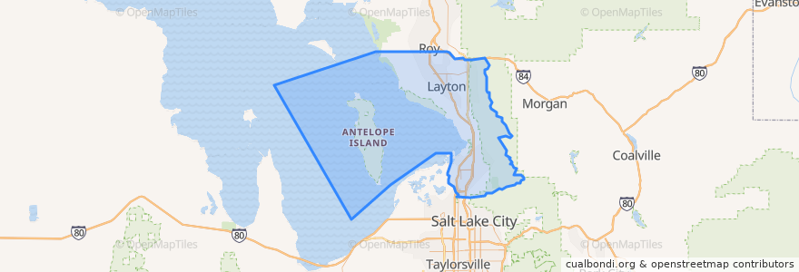
Davis County
Voir sur la carte interactive
Itinéraires des transports publics
UTA Route 460 Woods Cross (to Salt Lake)
UTA Route 460 Woods Cross (to Woods Cross)
UTA Route 462 North Salt Lake (to North Salt Lake)
UTA Route 471 Centerville (to Centerville)
UTA Route 471 Centerville (to Downtown SLC)
UTA Route 472 Riverdale to Salt Lake Express (to Riverdale Park and Ride)
UTA Route 472 Riverdale to Salt Lake Express (to Salt Lake)
UTA Route 626 West Roy/Clearfield Station (to West Roy)
UTA Route 627 Clearfield Station/Kaysville/DTC (to Clearfield Station)
Endroits
North Salt Lake
(7)
Woods Cross
(6)
Bountiful
(5)
Centerville
(4)
Clearfield
(4)
Layton
(4)
Kaysville
(3)
Farmington
(2)
Sunset
(2)
West Bountiful
(2)
Clinton
(1)
Syracuse
(1)
West Point
(1)
Fruit Heights
(0)
South Weber
(0)
Uintah
(0)
Points d'interêts
Mikado
Bathrooms Lewis Park
New Hope Fellowship
Cafe Zupas
Monarch Dental
Texas Roadhouse
Fruit Heights
Coombs Orthodontics
Change Machine
Check Smart
Antelope Elementary School
Applebee's
Golden West Credit Union
The UPS Store
Bountiful
Abundant Life Assembly of God Church
Robintino's
Maverik
Worlds End Coffee House
The Church of Jesus Christ of Latter-day Saints
Farmington Shelter 2
Calvary Chapel
Redbox
Layton Hills Dental Care
Panda Express
Corn Dog Corner
Taco Time
Yogurtland
Tasty's
Clinton Dental Group