Login
Star users
Poll
Home
>
United States
>
Utah
>
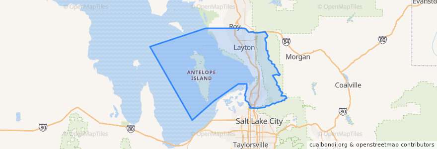
Davis County
Davis County
See in interactive map
Routes of public transport
UTA Route 460 Woods Cross (to Salt Lake)
UTA Route 460 Woods Cross (to Woods Cross)
UTA Route 462 North Salt Lake (to North Salt Lake)
UTA Route 471 Centerville (to Centerville)
UTA Route 471 Centerville (to Downtown SLC)
UTA Route 472 Riverdale to Salt Lake Express (to Riverdale Park and Ride)
UTA Route 472 Riverdale to Salt Lake Express (to Salt Lake)
UTA Route 626 West Roy/Clearfield Station (to West Roy)
UTA Route 627 Clearfield Station/Kaysville/DTC (to Clearfield Station)
Places
North Salt Lake
(7)
Woods Cross
(6)
Bountiful
(5)
Centerville
(4)
Clearfield
(4)
Layton
(4)
Kaysville
(3)
Farmington
(2)
Sunset
(2)
West Bountiful
(2)
Clinton
(1)
Syracuse
(1)
West Point
(1)
Fruit Heights
(0)
South Weber
(0)
Uintah
(0)
Points of interest
Change Machine
Genesis Med Spa
Corner Bakery
The Church of Jesus Christ of Latter-day Saints
Sushi Burrito
The Church of Jesus Christ of Latter-day Saints
Pizza Hut
Vito's
Jersey Mike's Subs
Royal India
Farmington Shelter 4
Dream It Dental
The Church of Jesus Christ of Latter-day Saints
Tonyburgers
TCBY
Steward Primary Care, Woods Cross
Starbucks
Cafe Rio
Jin's
Swig
Clearfield
Bathrooms Lewis Park
School of Saint Peter
Sunset Junior High School
Sunset
Wasatch Chiropractic Clinic
Arete Smile Design Center
Wok Lin
Jimmy John's
McDonald's