Log masuk
Pengguna bintang
Undian
Laman utama
>
Amerika Syarikat
>
Utah
>
Davis County
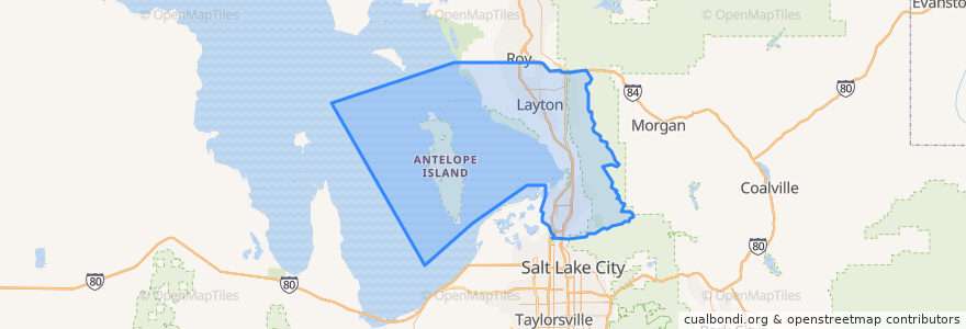
Davis County
Lihat di peta interaktif
Laluan pengangkutan awam
UTA Route 460 Woods Cross (to Salt Lake)
UTA Route 460 Woods Cross (to Woods Cross)
UTA Route 462 North Salt Lake (to North Salt Lake)
UTA Route 471 Centerville (to Centerville)
UTA Route 471 Centerville (to Downtown SLC)
UTA Route 472 Riverdale to Salt Lake Express (to Riverdale Park and Ride)
UTA Route 472 Riverdale to Salt Lake Express (to Salt Lake)
UTA Route 626 West Roy/Clearfield Station (to West Roy)
UTA Route 627 Clearfield Station/Kaysville/DTC (to Clearfield Station)
Tempat
North Salt Lake
(7)
Woods Cross
(6)
Bountiful
(5)
Centerville
(4)
Clearfield
(4)
Layton
(4)
Kaysville
(3)
Farmington
(2)
Sunset
(2)
West Bountiful
(2)
Clinton
(1)
Syracuse
(1)
West Point
(1)
Fruit Heights
(0)
South Weber
(0)
Uintah
(0)
Tempat menarik
North Salt Lake Post Office
Arete Smile Design Center
Ruffledale Pet Resort & Paw Spa
Jamba Juice
Starbucks
Walgreens
Clinton
Kaysville Fire Station
The Church of Jesus Christ of Latter-day Saints
Cold Stone Creamery
The Church of Jesus Christ of Latter-day Saints
Rumbi Island Grill
Fire Station 11
Marinello School Of Beauty
McDonald's
Redbox
Royal India
The Church of Jesus Christ of Latter-day Saints
Chevron
Papa John's
Jarocho's
China Hill
Pizza Hut
Onemain Financial
Roxberry
Abundant Life Assembly of God Church
Panda Express
West Bountiful
ProShine Auto Wash
Costa Vida