تسجيل الدخول
مستخدمي ستار
تصويت
الصفحة الرئيسية
>
الولايات المتّحدة الأمريكيّة
>
يوتا
>
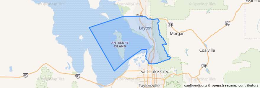
Davis County
Davis County
انظر في الخريطة التفاعلية
طرق النقل العام
UTA Route 460 Woods Cross (to Salt Lake)
UTA Route 460 Woods Cross (to Woods Cross)
UTA Route 462 North Salt Lake (to North Salt Lake)
UTA Route 471 Centerville (to Centerville)
UTA Route 471 Centerville (to Downtown SLC)
UTA Route 472 Riverdale to Salt Lake Express (to Riverdale Park and Ride)
UTA Route 472 Riverdale to Salt Lake Express (to Salt Lake)
UTA Route 626 West Roy/Clearfield Station (to West Roy)
UTA Route 627 Clearfield Station/Kaysville/DTC (to Clearfield Station)
أماكن
North Salt Lake
(7)
Woods Cross
(6)
Bountiful
(5)
Centerville
(4)
Clearfield
(4)
Layton
(4)
Kaysville
(3)
Farmington
(2)
Sunset
(2)
West Bountiful
(2)
Clinton
(1)
Syracuse
(1)
West Point
(1)
Fruit Heights
(0)
South Weber
(0)
Uintah
(0)
مجالات الاهتمام
Domino's
Popcorn Cottage
Lagos
University of Utah Health Care Farmington Health Center
The Habit Burger Grill
The Church of Jesus Christ of Latter-day Saints
Layton Hills Dental Care
Intermountain Healthcare: Syracuse Center
New Hope Fellowship
The Church of Jesus Christ of Latter-day Saints
Subway
Sunset City Hall
Kaysville
Abundant Life Assembly of God Church
The UPS Store
Thai Jasmine
Dunkin' Donuts
Culver's
Shake It Up
The Church of Jesus Christ of Latter-day Saints
Goldenwest Credit Union
Pad Thai
McDonald's
Coombs Orthodontics
Davis Hospital Pharmacy
Davis County Library North Branch
Costa Vida
The Church of Jesus Christ of Latter-day Saints
Louie's Pizza
Downunder Club