로그인
스타 사용자
투표
홈페이지
>
미국
>
유타 주
>
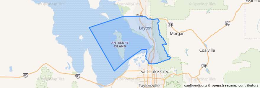
Davis County
Davis County
대화식지도에서보기
대중 교통 경로
UTA Route 460 Woods Cross (to Salt Lake)
UTA Route 460 Woods Cross (to Woods Cross)
UTA Route 462 North Salt Lake (to North Salt Lake)
UTA Route 471 Centerville (to Centerville)
UTA Route 471 Centerville (to Downtown SLC)
UTA Route 472 Riverdale to Salt Lake Express (to Riverdale Park and Ride)
UTA Route 472 Riverdale to Salt Lake Express (to Salt Lake)
UTA Route 626 West Roy/Clearfield Station (to West Roy)
UTA Route 627 Clearfield Station/Kaysville/DTC (to Clearfield Station)
장소
North Salt Lake
(7)
Woods Cross
(6)
Bountiful
(5)
Centerville
(4)
Clearfield
(4)
Layton
(4)
Kaysville
(3)
Farmington
(2)
Sunset
(2)
West Bountiful
(2)
Clinton
(1)
Syracuse
(1)
West Point
(1)
Fruit Heights
(0)
South Weber
(0)
Uintah
(0)
가볼만한 곳
Walgreens
Thai Jasmine
Centerpoint Legacy Theatre
The Church of Jesus Christ of Latter-day Saints
Arete Smile Design Center
Mo Bettah's Steaks
Sunset Junior High School
Abundant Life Assembly of God Church
Mikado
Fruit Heights
Jersey Mike's Subs
Taco Time
Clinton Dental Group
Wells Fargo
Taco Bell
The Church of Jesus Christ of Latter-day Saints
Louie's Pizza
Jimmy John's
Papa John's
University Credit Union
Vito's
Cutler's Cookies and Sandwiches
Redbox
Iceberg Drive Inn
The Church of Jesus Christ of Latter-day Saints
Ramblin Roads Diner
Hill Field School
Del Taco
Starbucks
The Church of Jesus Christ of Latter-day Saints