ログインする
スターユーザー
投票
ホーム
>
アメリカ合衆国
>
ユタ州
>
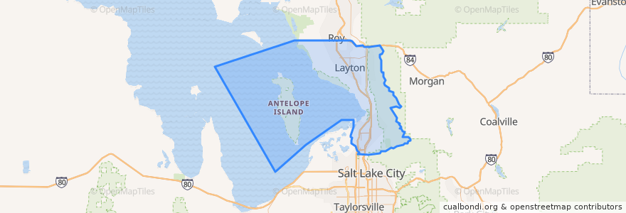
Davis County
Davis County
インタラクティブマップで見る
公共交通機関のルート
UTA Route 460 Woods Cross (to Salt Lake)
UTA Route 460 Woods Cross (to Woods Cross)
UTA Route 462 North Salt Lake (to North Salt Lake)
UTA Route 471 Centerville (to Centerville)
UTA Route 471 Centerville (to Downtown SLC)
UTA Route 472 Riverdale to Salt Lake Express (to Riverdale Park and Ride)
UTA Route 472 Riverdale to Salt Lake Express (to Salt Lake)
UTA Route 626 West Roy/Clearfield Station (to West Roy)
UTA Route 627 Clearfield Station/Kaysville/DTC (to Clearfield Station)
場所
North Salt Lake
(7)
Woods Cross
(6)
Bountiful
(5)
Centerville
(4)
Clearfield
(4)
Layton
(4)
Kaysville
(3)
Farmington
(2)
Sunset
(2)
West Bountiful
(2)
Clinton
(1)
Syracuse
(1)
West Point
(1)
Fruit Heights
(0)
South Weber
(0)
Uintah
(0)
興味がある点
Shake It Up
Wok Lin
Layton
Chipotle
Redbox
Cutler's Cookies and Sandwiches
Davis Drug
Little Caesars
Clinton
The Church of Jesus Christ of Latter-day Saints
North View Pharmacy
Kim Long Vietnamese Cuisine
Carl's Jr.
Monarch Dental
Farmington
Baskin-Robbins
Island View Pharmacy
Wells Fargo
Hungry Howie's
Tanner Clinic
Coombs Orthodontics
Panda Express
KeyBank
Tonyburgers
Applebee's
The Church of Jesus Christ of Latter-day Saints
South Weber
Cold Stone Creamery
The Church of Jesus Christ of Latter-day Saints
Chase