Login
Star users
Poll
Home
>
United States
>
Utah
>
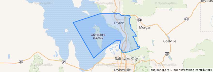
Davis County
Davis County
See in interactive map
Routes of public transport
UTA Route 460 Woods Cross (to Salt Lake)
UTA Route 460 Woods Cross (to Woods Cross)
UTA Route 462 North Salt Lake (to North Salt Lake)
UTA Route 471 Centerville (to Centerville)
UTA Route 471 Centerville (to Downtown SLC)
UTA Route 472 Riverdale to Salt Lake Express (to Riverdale Park and Ride)
UTA Route 472 Riverdale to Salt Lake Express (to Salt Lake)
UTA Route 626 West Roy/Clearfield Station (to West Roy)
UTA Route 627 Clearfield Station/Kaysville/DTC (to Clearfield Station)
Places
North Salt Lake
(7)
Woods Cross
(6)
Bountiful
(5)
Centerville
(4)
Clearfield
(4)
Layton
(4)
Kaysville
(3)
Farmington
(2)
Sunset
(2)
West Bountiful
(2)
Clinton
(1)
Syracuse
(1)
West Point
(1)
Fruit Heights
(0)
South Weber
(0)
Uintah
(0)
Points of interest
Health and Wellness Clinic
Genesis Med Spa
Fruit Heights
Hug-Hes Cafe
El Matador
Wasatch Church of Christ
The Church of Jesus Christ of Latter-day Saints - Seminary
The Church of Jesus Christ of Latter-day Saints
Centerville
Sinclair
Eaton
Subway
The Church of Jesus Christ of Latter-day Saints
Taste Of India
Wendy's
Little Caesars
Del Taco
Lisa's Passion for Popcorn
The Church of Jesus Christ of Latter-day Saints
Sonic
West Bountiful
Cold Stone Creamery
Rumbi Island Grill
Panda Express
Samurai Sam's
Popcorn Cottage
Sunset City
Mountain America Credit Union
Layton Smiles Dentistry
Walgreens