Login
Usuarios estrella
Encuesta
Inicio
>
Estados Unidos de América
>
Utah
>
Davis County
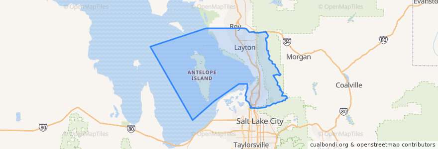
Davis County
Ver en mapa interactivo
Recorridos de transporte público
UTA Route 460 Woods Cross (to Salt Lake)
UTA Route 460 Woods Cross (to Woods Cross)
UTA Route 462 North Salt Lake (to North Salt Lake)
UTA Route 471 Centerville (to Centerville)
UTA Route 471 Centerville (to Downtown SLC)
UTA Route 472 Riverdale to Salt Lake Express (to Riverdale Park and Ride)
UTA Route 472 Riverdale to Salt Lake Express (to Salt Lake)
UTA Route 626 West Roy/Clearfield Station (to West Roy)
UTA Route 627 Clearfield Station/Kaysville/DTC (to Clearfield Station)
Lugares
North Salt Lake
(7)
Woods Cross
(6)
Bountiful
(5)
Centerville
(4)
Clearfield
(4)
Layton
(4)
Kaysville
(3)
Farmington
(2)
Sunset
(2)
West Bountiful
(2)
Clinton
(1)
Syracuse
(1)
West Point
(1)
Fruit Heights
(0)
South Weber
(0)
Uintah
(0)
Puntos de interés
Wasatch Church of Christ
R F. Derbidge, RPh
West Bountiful
Del Taco
Hungry Howie's
ProShine Auto Wash
Culver's
Farmington Shelter 3
Jimmy John's
Tonyburgers
The Church of Jesus Christ of Latter-day Saints
Mo Bettah's Steaks
Subway
The Church of Jesus Christ of Latter-day Saints
The Church of Jesus Christ of Latter-day Saints
Louie's Pizzeria
Farmington
The Church of Jesus Christ of Latter-day Saints
Dream It Dental
Lagos
Doxey Elementary School
Monarch Dental
Wasatch Chiropractic Clinic
The Church of Jesus Christ of Latter-day Saints
Manuel's El Burrito
Pizza Hut
Bountiful Post Office
Monarch Dental
Carl's Jr.
Chick-fil-A