تسجيل الدخول
مستخدمي ستار
تصويت
الصفحة الرئيسية
>
الولايات المتّحدة الأمريكيّة
>
كولورادو
>
Larimer County
>
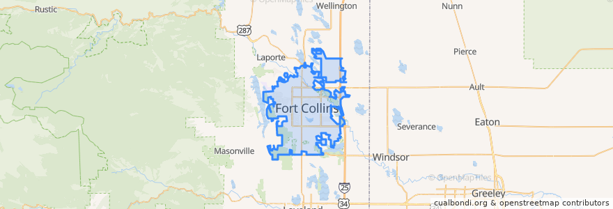
Fort Collins
Fort Collins
انظر في الخريطة التفاعلية
طرق النقل العام
12 NB
14 EB
16 EB
18 SB
19 SB
32 Loop
33 EB
33 WB
34 NB
موقف
Pitkin & Meridian
Horsetooth & JFK
College & Oak
Elizabeth and City Park
Sharp Point & March
Shields & Drake
Harmony & Delany
Prospect and Northbrook
Stover & Elizabeth
Ziegler & Harmony
-105.0947744, 40.5764658
Harmony & Mason
Prospect & Northbrook
Harmony & Regency
Shields & Springfield
Prospect and Heatheridge
Horsetooth & Shields
Harmony & Mason
Elizabeth & City Park
Elizabeth and Glenmoor
College & Harmony
Elizabeth & Glenmoor
Horsetooth & MAX
Shields and Lake
Midpoint Drive
Shields & Wabash
Sharp Point & March
Elizabeth & Overland
Horsetooth & MAX
Overland and Wells Fargo
مجالات الاهتمام
Shell
Pulcinella Pizzeria
The Crooked Cup
United States Post Office
Schrader's Country Store
Simmer
Casa de Los Amigos
Vincent's Heavenly Pies & Pasta
Starbucks
Urgent Care - Harmony Campus
CopperMuse Distillery
Vatos tacos & tequilla
City Drug
Spooners
China Wok
USPS
Suehrio Sushi
Redbox
Dairy Queen
Blackjack Pizza
Smashburger
Cafe Rio
Green Light Cafe
Silver Mine Subs
Metered Parking
Ohana Bowls Acai Cafe
Jason's Deli
Jax Fish House & Oyster Bar
Slyce Pizza Co.
Tararine Thai