Oturum aç
Yıldız kullanıcılar
Anket
anasayfa
>
Amerika Birleşik Devletleri
>
Kolorado
>
Larimer County
>
Fort Collins
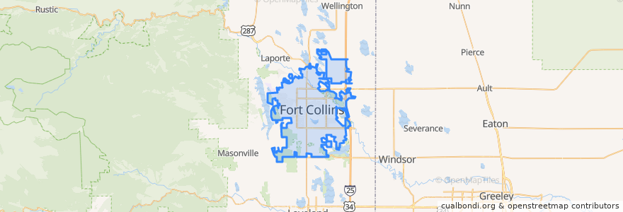
Fort Collins
Etkileşimli haritada görüntüle
Toplu taşıma yolları
12 NB
14 EB
16 EB
18 SB
19 SB
32 Loop
33 EB
33 WB
34 NB
Durur
Elizabeth and City Park
(Bus 2, 31, 33, Horn)
Jefferson & 2nd Street
Elizabeth and City Park
Prospect & Lemay
Elizabeth & Overland
Harmony & Mason
(Bus 31, 32, 33, Horn)
Horsetooth & Automation
Harmony & Starflower
Lady Moon & Harmony
Prospect & Fuqua
Harmony & Starflower
Harmony & Hinsdale
Prospect & Stover
Prospect & Prospect Parkway
Elizabeth & Rocky
Harmony & Hinsdale
Prospect & Overland
Shields & Rocky Mountain
Prospect Parkway & Midpoint
Horsetooth & Caribou
Harmony & Seneca
Elizabeth & Timber
-105.1060059, 40.5756706
Harmony & Mason
Harmony & Shields
Elizabeth & Glenmoor
Olive & Remington
Olive & Peterson
İlgi noktaları
CopperMuse Distillery
ChargePoint
The Still Whiskey Steaks
First National Bank
Beijing Noodle
Mugs Coffee Lounge
Lamar's Donuts
Jim's Wings
Urban Egg
Suehiro
Vatos tacos & tequilla
Sammy's Breakfast Bar
China Wok
Old Town Station Fort Collins Post Office
Chipotle
Good Feet
Little Free Library
Verus Bank of Commerce
Yum Yum's
Simmer
Berry Blendz
Ward Orthadontist
Harris Bilingual Immersion School
The Bean Cycle
Hodi's Half Note
Jimmy John's
Qdoba
Bank of Colorado
Crooked Stave (Brewery)
Ace Gillett's Lounge