Log masuk
Pengguna bintang
Undian
Laman utama
>
Amerika Syarikat
>
Colorado
>
Larimer County
>
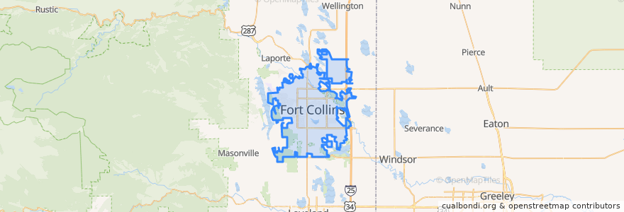
Fort Collins
Fort Collins
Lihat di peta interaktif
Laluan pengangkutan awam
12 NB
14 EB
16 EB
18 SB
19 SB
32 Loop
33 EB
33 WB
34 NB
Perhentian
Harmony & Starflower
Elizabeth & Constitution
Elizabeth and Skyline
Laurel & Washington
Prospect & Lemay
Lady Moon & Rock Creek
Midpoint & Larimer County Detention Center
Harmony & Mason
Harmony & Starflower
Olive & Remington
Sharp Point
Prospect & Prospect Parkway
Horsetooth & Taft Hill
Elizabeth & Taft Hill
Jefferson & 2nd Street
Elizabeth and Taft Hill
Shields & Lake
East Lincoln
Harmony & Seneca
Prospect and Heatheridge
Elizabeth & Rocky
Prospect & Larch
Shields & Horsetooth
Shields & Wabash
Horsetooth & Tradition
Elizabeth & City Park
Prospect & Welch
Prospect & Robertson
Harmony & Delany
Prospect & Shields
Tempat menarik
Equinox Brewing
Great Western Bank
Simmer
T. R. Paul Academy of Arts and Knowledge
United States Post Office
The Twisted Noodle
DC Oakes Brew House
Choice City Butcher and Deli
Cups Coffee Lounge
Front Range Dental
Specht Point Cafe
Pueblo Viejo
Silvermine Subs
Yum Yum's
The Still Whiskey Steaks
Starbucks
Hu-Hot Mongolian Grill
Ryan's Sports Bar & Grill
Fuzzy's Tacos
Tony's
Choice City Wings
Hearing Rehab Center
La Buena Vida
The Whisk(e)y
Panera Bread
Papa Murphy's
Spoons
Rita's Italian Ice
The Forge Publick House
CooperSmith's Pub & Brewing