Anmelden
Star-Benutzer
Umfrage
Startseite
>
Vereinigte Staaten von Amerika
>
Colorado
>
Larimer County
>
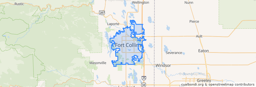
Fort Collins
Fort Collins
Siehe in der interaktiven Karte
Routen des öffentlichen Verkehrs
12 NB
14 EB
16 EB
18 SB
19 SB
32 Loop
33 EB
33 WB
34 NB
Haltestellen
Elizabeth and Skyline
(Bus 31, 32, 33)
Harmony Transfer Center
Elizabeth and Overland
Midpoint & Larimer County Detention Center
Elizabeth & Taft Hill
Sharp Point & March
Prospect & Lemay
Midpoint Drive
Jefferson & Linden
Harmony & Boardwalk
Shields & Elizabeth
Elizabeth & King Soopers
Prospect & Robertson
Horsetooth & Lemay
Lady Moon & Rock Creek
Horsetooth & JFK
Harmony & Timberline
Harmony & Silvergate
Shields & Swallow
Shields & Rolland Moore Park
Horsetooth & Caribou
Meridian and University
Harmony & Corbett
Shields & Casa Grande
Harmony & Starflower
Routes 32, 33
Harmony Transfer Center
Horsetooth & Caribou
Prospect and Cedarwood
Sehenswürdigkeiten
Subway
Steakout Saloon
Tasty Harmony
Purple Cup Cafe
Potbelly Sandwhiches
Toothzone
Starbucks
Hu-Hot Mongolian Grill
El Pueblito
Wahoo's Fish Taco
Metered Parking
ATA Family Martial Arts
Pour Brothers Community Tavern
Beau Jo's Pizza
Redbox
Immersion Dance Center
Honey Baked Ham
Little Caesars
Pizza Hut
Bright Now! Dental
The Kitchen
Buffalo Wild Wings
CVS Pharmacy
Dazbog Coffee
Lamar's Donuts
Lucky Joe's Sidewalk Saloon
King Soopers Pharmacy
Domenic's Bistro & Wine Bar
Jax Fish House & Oyster Bar
Mama Roni's Pizza