ログインする
スターユーザー
投票
ホーム
>
アメリカ合衆国
>
コロラド州
>
Larimer County
>
Fort Collins
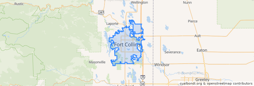
Fort Collins
インタラクティブマップで見る
公共交通機関のルート
12 NB
14 EB
16 EB
18 SB
19 SB
32 Loop
33 EB
33 WB
34 NB
ストップ
Pitkin & Meridian
Harmony & Starflower
Jefferson & 2nd Street
Elizabeth and Skyline
Harmony & Hinsdale
-105.0915398, 40.576438800000005
Shields & Horsetooth
College & Oak
Sharp Point & March
-105.0939122, 40.5764486
Horsetooth & Taft Hill
Harmony & Mason
Prospect Parkway & Midpoint
(Bus 31, 32, 33, Horn)
Plum & Bluebell
Rock Creek & Technology
Elizabeth & Kimball
Midpoint Drive
Shields & Lake
Lady Moon & Rock Creek
Shields & Elizabeth
Harmony & Seneca
Prospect and Fuqua
Shields & Rocky Mountain
Prospect & Riverside
Shields & Centre
Elizabeth and Skyline
Prospect & Cedarwood
(Bus 2, 31, 33, Horn)
Elizabeth & Overland
興味がある点
Axis International Academy Elementary School
The Chicken Coop
Mad Greens
Lamar's Donuts
Starbucks
La Piadina
Silvermine Subs
JeJu
Budget
ChargePoint
Slyce Pizza Co.
Fuzzy's Tacos
The Bean Cycle
Honey Baked Ham
Fiona's Delicatessen
Starbucks
Smashburger
The Trailhead
Blind Pig Pub
Bann Thai
Hot Wok Cafe
El Burrito
The Original Pancake House
The Still Whiskey Steaks
Panera Bread
Starbucks
Velocity Lending
Mugs Coffee Lounge
Rita's Italian Ice
RARE Italian