Accesso
Utenti preferiti
Sondaggio
Homepage
>
Stati Uniti d'America
>
Colorado
>
Larimer County
>
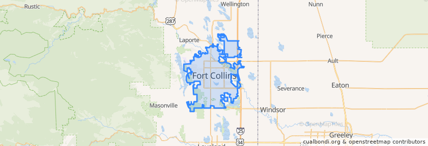
Fort Collins
Fort Collins
Visualizza nella mappa interattiva
Percorsi di trasporto pubblico
12 NB
14 EB
16 EB
18 SB
19 SB
32 Loop
33 EB
33 WB
34 NB
Fermate
Jefferson & Linden
Harmony & Mason
Elizabeth & Taft Hill
Elizabeth and Constitution
Harmony Transfer Center
-105.0947744, 40.5764658
Horsetooth & Manhattan
Shields & Drake
Prospect and Cedarwood
Elizabeth and Timber
-105.0989289, 40.576563300000004
Elizabeth & Skyline
Elizabeth & Glenmoor
Shields & Rocky Mountain
Prospect and Larch
Elizabeth & Glenmoor
Horsetooth & Lemay
Harmony & McMurray
Prospect & Welch
Horsetooth & Kingsley
Routes 32, 33
Harmony & Wheaton
Midpoint Drive
Shields & Swallow
Horsetooth & Mason
Prospect & Prospect Parkway
Elizabeth & Overland
Prospect & Fuqua
Harmony & Regency
East Lincoln
Punti di interesse
CVS Pharmacy
Riffenburgh Elementary School
Five Guys
Tony's
McAlister's Deli
Taekwondo
Subway
Axis International Academy Elementary School
Starbucks
Steakout Saloon
Library - Council Tree Branch
Tararine Thai
Town Pump
The Chicken Coop
Good Feet
Slyce Pizza Co.
East Moon Asian Bistro
Starbucks
Taj Mahal
Pack @n Mail
Little Caesars
Cold Stone Creamery
Snooze
DC Oakes Brew House
Colorado Early Colleges - West Middle School
ChargePoint
Cold Stone Creamery
Mulnix Animal Clinic
The Yeti
Domenic's Bistro & Wine Bar