Ouverture de session
Utilisateurs étoile
Sondage
Accueil
>
États-Unis d'Amérique
>
Colorado
>
Larimer County
>
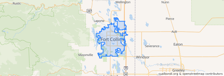
Fort Collins
Fort Collins
Voir sur la carte interactive
Itinéraires des transports publics
12 NB
14 EB
16 EB
18 SB
19 SB
32 Loop
33 EB
33 WB
34 NB
Arrêts
Elizabeth & King Soopers
Midpoint & Larimer County Detention Center
Lady Moon & Rock Creek
Shields & Rocky Mountain
Olive & Peterson
Prospect and Overland
Prospect & Welch
Shields & Rocky Mountain
Prospect & Taft Hill
Pitkin & CSU
Prospect & Overland
Meridian and University
Horsetooth & Kingsley
Harmony & Hinsdale
Lady Moon & Rock Creek
Horsetooth & Automation
Jefferson & 2nd Street
Elizabeth & Skyline
Prospect & Heatheridge
Olive & Peterson
-105.0947744, 40.5764658
Harmony & Silvergate
Prospect and Fuqua
Rock Creek & Technology
Jefferson & Lemay
Harmony & Corbett
College & Oak
Elizabeth and Hillcrest
Harmony & Seneca
Route 32
Points d'interêts
Cheba Hut
Vincent's Heavenly Pies & Pasta
ChargePoint
CooperSmith's Pub & Brewing
Cozzola's Pizza
Harris Bilingual Immersion School
Green Light Cafe
Little Caesars
Banner Urgent Care
Suehrio Sushi
Spring Creek Medical Park
Domenic's Bistro & Wine Bar
Wahoo's Fish Taco
Prost Brewing
Starbucks
Road 34 Deli and Tavern
Pizza Hut
La Piadina
Animal Hospital
Barking Beagle's Little Free Library
Shell
ChargePoint
Spring Creek Dental
Fuzzy's Tacos
Fort Collins High School
Safeway
Mama Roni's
The Twisted Noodle
Dazbog Coffee
Chipotle