Login
Star users
Poll
Home
>
United States
>
Colorado
>
Larimer County
>
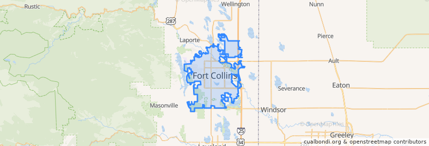
Fort Collins
Fort Collins
See in interactive map
Routes of public transport
12 NB
14 EB
16 EB
18 SB
19 SB
32 Loop
33 EB
33 WB
34 NB
Stops
Prospect & Constitution
Harmony & Wheaton
Shields & Elizabeth
Prospect & Lemay
Shields & Springfield
Prospect and Taft Hill
Olive & Peterson
Shields and Lake
Horsetooth & Tradition
Route 32
(Bus 2, 31, 33, Horn)
Prospect and Larch
-105.0947744, 40.5764658
Elizabeth and Timber
Prospect & Welch
Prospect & Northbrook
Horsetooth & JFK
Prospect and Heatheridge
Harmony & Starflower
Shields & Rocky Mountain
Elizabeth and Glenmoor
Horsetooth & Taft Hill
Harmony & Shields
Harmony & Starflower
Lady Moon & Rock Creek
College & Laporte
Jefferson & 2nd Street
Harmony & Larkbunting
Elizabeth and Kimball
Prospect & Heatheridge
Points of interest
Fort Collins Police - Downtown
Tran's Martial Arts
Fuzzy's Tacos
Tecate Grill
Starbucks
Purple Cup Cafe
Jersey Mike's Subs
Obee's
Bright Now! Dental
Shields & Horsetooth
Elliot's Martini Bar
CVS Pharmacy
7-Eleven
Subway
Panera Bread
Simply Thai
7-Eleven
Schrader's Country Store
Ward Orthadontist
The Rio Grande Restaurant
Tararine Thai
The Trailhead
Restaurant 415
Immersion Dance Center
Snooze
Subway
Cosmo's Pizza
Safeway
Spoons
Wells Fargo