Login
Usuarios estrella
Encuesta
Inicio
>
Estados Unidos de América
>
Colorado
>
Larimer County
>
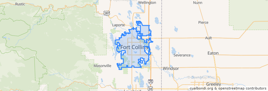
Fort Collins
Fort Collins
Ver en mapa interactivo
Recorridos de transporte público
12 NB
14 EB
16 EB
18 SB
19 SB
32 Loop
33 EB
33 WB
34 NB
Paradas
Sharp Point & March
Harmony & Wheaton
Whedbee & Mulberry
Prospect & Skyline
Lady Moon & Harmony
Rams Village East
Horsetooth & Manhattan
Horsetooth & Stover
Meridian & South Drive
Sharp Point Drive
-105.09892140000001, 40.5672755
Route 32
(Bus 31, 32, 33, Horn)
Shields & Prospect
Lady Moon & Rock Creek
Elizabeth and Skyline
Shields & Springfield
Horsetooth & Timberline
College & Harmony
Horsetooth & Automation
Pitkin & CSU
Rock Creek & Technology
Prospect and Overland
Harmony & Mason
Elizabeth & Glenmoor
Harmony & Poudre Valley Hospital
Harmony & Mason
Harmony & Shields
Harmony & Silvergate
Harmony & Delany
Puntos de interés
Steakout Saloon
Redbox
Pizza Hut
Tony's
Foco Doco
Spring Creek Medical Park
Dai Qi's Pizza
Suehiro
Fort Collins Police - Downtown
ATA Family Martial Arts
Sherpa Grill 2
Good Feet
Backporch Cafe
Beau Jo's Pizza
Library - Council Tree Branch
Starbucks
Smashburger
The Still Whiskey Steaks
Moe's Original Bar B Que
Corner Store Express
Shell
Domenic's Bistro & Wine Bar
Friendship Hospital for Animals
Stifel Nicolaus
Walgreens
Ding Tea
Hu-Hot Mongolian Grill
Restaurant 415
Canyon Chop House
The Crooked Cup